
Fresh snow has begun blanketing Australia’s ski fields as a powerful weather system brings damaging winds, heavy rain and possible flooding.
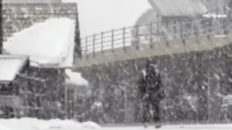
Snow started falling at Mt Hotham on Sunday morning as a cold front swept across southeastern Australia. Footage from the resort shows thick flakes covering the slopes and cars, while skiers and snowboarders enjoy the fresh powder.
Temperature Fluctuations
The snow temporarily turned to rain later on Sunday as temperatures climbed above freezing, but Bureau of Meteorology (BOM) meteorologist Sarah Scully told 7NEWS.com.au temperatures would plunge again overnight.
“Once the cold front that’s creating this weather system moves through, the temperature will be much colder in its wake and then the rain will start to fall as snow again,” she said.
Snowfall Forecast
About 20cm of snow could fall across alpine areas on Monday, followed by lighter snow showers on Tuesday and another burst on Wednesday as a second cold front approaches. Scully said it was difficult to predict which resort would get the most, but Victoria’s alpine areas were likely to see heavier falls.
Damaging Winds Lash Three States
The wintry weather is part of the same powerful system responsible for damaging wind warnings across Australia’s southeast. Scully said the strong cold front had tapped into deep tropical moisture, bringing damaging winds, heavy rain, possible severe thunderstorms, and the risk of flash and riverine flooding.
The BOM issued warnings for NSW, Victoria and SA on Sunday, with winds reaching upwards of 130km/h in some areas. Gusts exceeded 100km/h in several alpine areas by early Sunday afternoon, including 128km/h at Thredbo about 1.30pm, 109km/h at Mount Hotham about 2pm, and 100km/h at Mount Buller.
North to northwesterly winds are strengthening ahead of the cold front, which is forecast to cross SA, Victoria and NSW later on Sunday. Winds should weaken overnight before a broad low-pressure system moves across western Victoria and into Bass Strait on Monday, extending gusty conditions over the NSW Great Dividing Range, the Hunter Valley, and elevated terrain in eastern NSW. Damaging winds have also developed in the Eyre Peninsula, Yorke Peninsula and Flinders Ranges in SA.
Heavy Rain and Flooding Risk
Heavy rain is another major concern as the system moves east. Widespread falls of 20mm to 40mm are forecast across the southeast by Monday evening, while 50mm to 70mm could fall around parts of South Australia, Victoria and southeastern NSW.
Victoria’s alpine areas could receive as much as 100mm to 120mm, prompting flood watches across several catchments in central and eastern Victoria and into the Snowy River catchment in NSW. A severe thunderstorm warning has also been issued for SA for heavy rainfall in parts of the Adelaide metropolitan area, Mount Lofty Ranges and Mid North districts.
The worst of the current system is expected to move into the Tasman Sea later on Monday, taking much of the heavy rain and damaging winds with it. Another cold front will then move across southern Australia, reaching Victoria, Tasmania and southern NSW on Wednesday. Conditions are expected to become much more settled from Thursday as high pressure builds across southern Australia.