
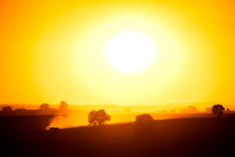
Australia is likely to experience unusually high heat this spring and summer, with forecasters warning of a triple threat from climate change, El Niño, and a positive Indian Ocean dipole.
Forecast for warmer conditions
Bureau of Meteorology climatologist Zhi Weng says there is a high chance much of the nation's south-east and southwest will experience one of the warmest springs on record.
"So, western parts of Western Australia, extending into southern Queensland and parts of south Australia, there is a strong indication that temperatures will be in the top 20 per cent of historical records for spring," he said.
Triple threat explained
Dr Andrew Watkins, an adjunct professor at Monash University and a Climate Council researcher, says Australia is facing a combination of climate change and two weather systems that typically drive warmer patterns.
As well as El Niño, there is a positive phase for the Indian Ocean dipole, which means sustained changes in the difference between sea surface temperatures.
"And that is effectively El Nino but in the Indian Ocean. And unfortunately, that pattern really sets in until summer, when the Asian monsoon comes in and knocks it over. But if we have climate change and El Nino and a positive Indian Ocean dipole, they are three things that all push south east Australia into hotter and drier and especially the spring period," he said.
El Niño strength
This year's El Niño is strong, with the index reaching more than 2 degrees for the first time in a decade. It brings hotter temperatures and less rain to the Asia Pacific.
Fire risk and flash droughts
Climatologists warn of "flash droughts" caused by short-term high heat that zaps moisture and creates a strong fire risk.
"And that has devastating impacts in terms of fire, in terms of water security and so on. The risk of flash drought over spring and summer really, and this is hard to find the actual scientific papers that show this, but as a former operational climatologist it really keeps me awake at night," said Dr Watkins.
Bushfire season concerns
Greg Mullins, former Commissioner of New South Wales Fire and Rescue Service and Climate Council member, says the nation enters the fire season with too much growth due to prolonged rain since 2020.
"And what we increasingly find is that conditions swing from being too wet, to suddenly too hot and dry. And we have had hazard reduction burns in Sydney for example, get out of hand just a week after we've had rain. So, the hotter temperatures dry out the bush very quickly and the effectiveness of hazard reduction, not the effectiveness, but the ability to carry out hazard reduction - the windows have reduced from months every year to just weeks," he said.
Rain may ease some areas
However, the BOM says there are signs rain could disrupt the summer bushfire threat in many areas.
"That drier than average pattern that we're seeing for September does break down for much of the country and we start seeing either above average rainfall being favoured or even a not clear signal for a lot of the country. The one exception would be far southern parts of the country so southeast, far south east Australia so Victoria and Tasmania," said Zhi Weng.